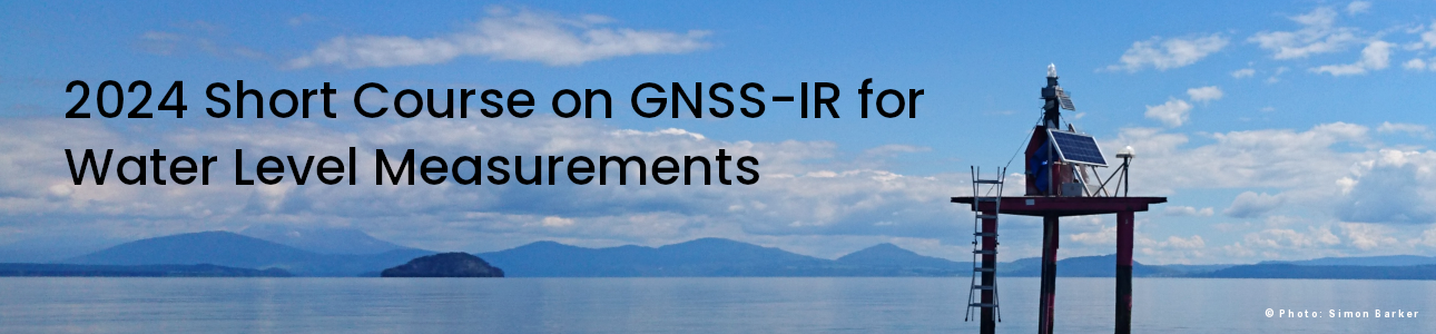
2024 Short Course on GNSS-IR for Water Level Measurements
Dates / Times: March 6 / 7 12:00-14:00 CET
Format: virtual
Sponsor: Collaborative Research Centre 1502 DETECT, https://sfb1502.de
Software Requirements: python 3.9 running on Linux/MacOS
or the ability to install a docker
Registration deadline: February 26, 2024
Course Description:
GNSS Interferometric Reflectometry (GNSS-IR) is a ground-based environmental sensing method. It uses GNSS signals that have been reflected from the surface below the antenna. GNSS-IR has been used to measure soil moisture, snow accumulation, permafrost melt, vegetation water content changes, water levels, and significant wave heights.
The gnssrefl software was written to support GNSS-IR users. This short course will focus specifically on measuring water levels with GNSS-IR. The first day will present an overview on the basic principles of GNSS-IR and how to install and run the gnssrefl software. The second day will focus on models needed to measure water levels with GNSS-IR and examples using gnssrefl to measure water levels in lakes, rivers, and the ocean.
Short Course Instructors:
Kristine M. Larson (Uni Bonn DETECT)
Simon Williams (National Oceanography Centre)
Felipe Nievinski (Uni. Federal do Rio Grande do Sul)
The gnssrefl software is hosted at github:
https://github.com/kristinemlarson/gnssrefl
Short course materials will be linked to the github repository using this link:
https://gnssrefl.readthedocs.io/en/latest/pages/sc_index2024.html
Registration closed